HAVE A QUESTION?
We look forward to helping you choose the best products and solutions for your business.
We look forward to helping you choose the best products and solutions for your business.
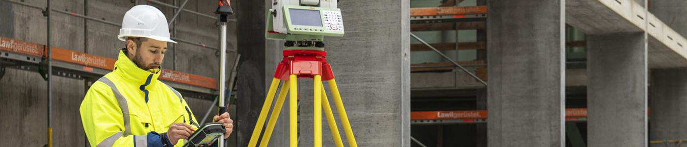
When you need high-quality engineering equipment, g360 is the name to trust. We are backed by years of experience in the construction and engineering equipment industry, so you can be sure that what we have to offer is reputable and trustworthy. What's more, our customer service is second to none, meaning our staff will go above and beyond to ensure all your questions are answered and all your needs are met. We are passionate about what we do, and we integrate that passion into every aspect of our business. For the engineering equipment you're looking for, the search stops with g360.
Here at g360, our inventory consists of the top brands in the industry. We only sell engineering equipment that is well-made, long-lasting, and does its job well. We even carry accessories and additional parts, making it easy for you to get your hands on whatever you might need. As a local business right here in Louisiana, that means all the more convenience and support available to you.
Leica is a German manufacturer of lenses and has been a leader in optics since 1869. Their build quality is exceptional, which is why we're proud to carry Leica equipment and make it available to Louisiana construction businesses. When it comes to reliable, long-lasting, and accurate surveying supplies, Leica hits all of the marks. Their products are some of the most sought-after in the industry and even in other industries too. When you shop with us for Leica equipment, you can be sure that you're looking at some of the best products available. Not sure where to start? Don't worry. Our superior customer service is here to help. Become one of the many satisfied customers that know to rely on us.
Our mission is to build long-lasting relationships in the land surveying and engineering sectors. The support you receive from us doesn't need to stop once you've obtained your equipment. We offer hands-on training and continued service for every piece of equipment. We are here to be your number one source for all things engineering. Whether you've been in the industry for several years and just need a replacement part or are starting a business for the first time, you can count on us to be there for you every time. Let us show you why we are the preferred supplier of equipment in Louisiana by getting in touch with us today. You'll be glad you did!
